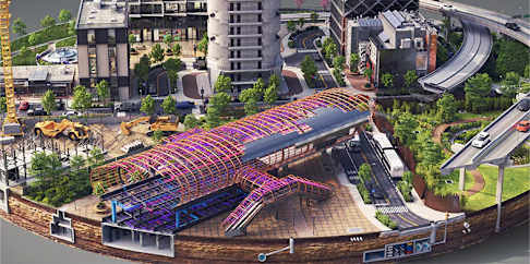
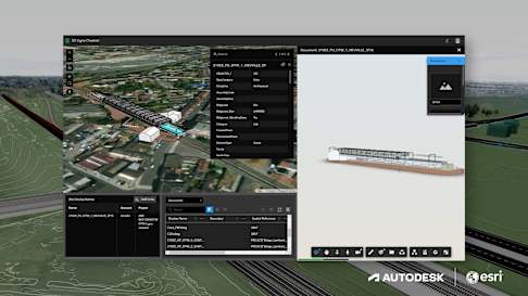
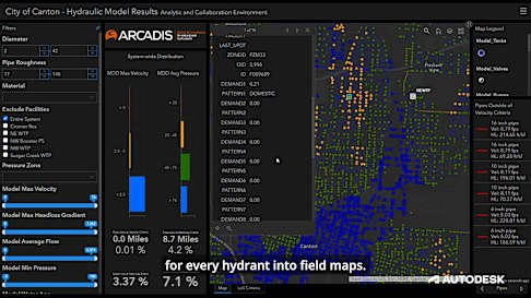
A new star rising


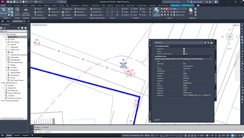
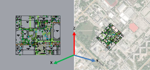
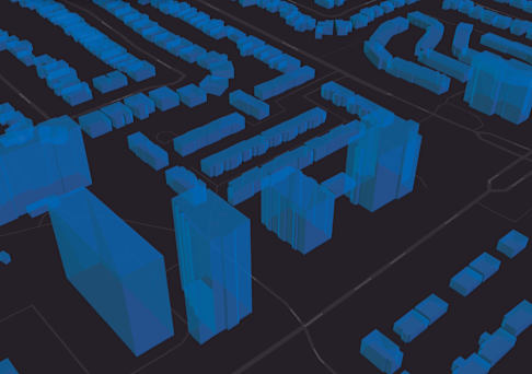
By combining Esri Canada's expertise in geographic information system (GIS) with Autodesk's design tools, we are able to help cities and municipalities plan more effective and sustainable urba...

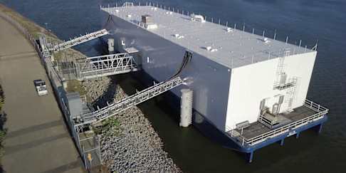
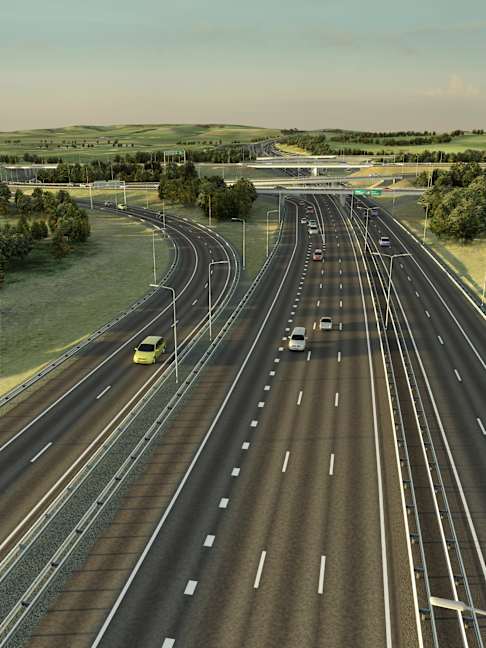
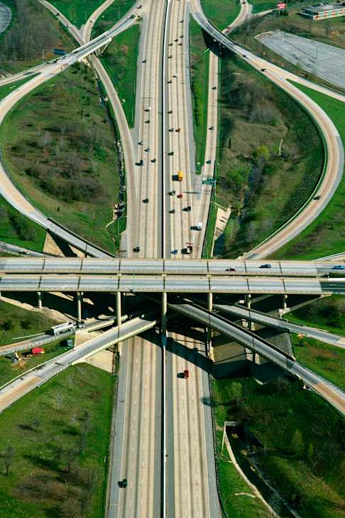
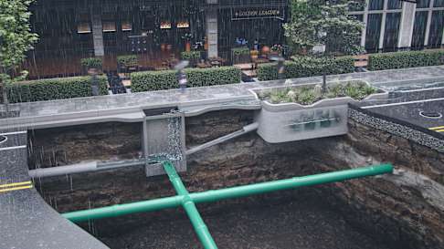
Assisting infrastructure managers better track and maintain critical assets like roads, bridges, and water system by combining GIS data with 3D design and engineering tools.

By integrating GIS data with design tools, your team can help emergency responders quickly assess and respond to disasters like wildfires, floods and earthquakes.
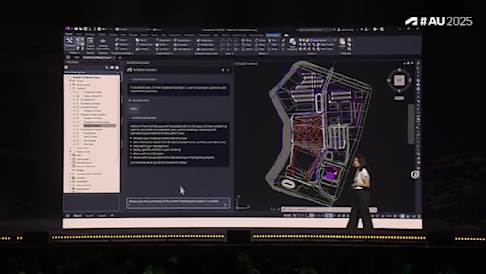
How Public Infrastructure Owners can use APS and ACC to apply AI-driven automation across the project lifecycle—starting small and scaling without development expertise.

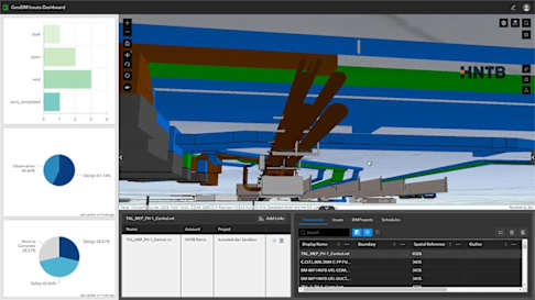
Real examples of using ACC as a single source of truth, APS to connect models and digital twins, and AI to automate high-value public-sector workflows.

Best practices for data ownership, security, and AI guardrails when scaling automation with APS and ACC in an open ecosystem.