Full integration of BIM-GIS and Drone Methodology in Civil Works
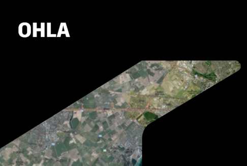
This presentation is about the full integration BIM-GIS-Drone, with Autodesk and Esri products. We develop a dashboard integrating ACC and BIM 360 Docs and Glue. Also, through ArcGis applications, we solved several challenges at our construction site. With drone methodology, we did the integration monthly with VR.