BIM Meets 3D GIS: Bring Construction Cloud and Esri ArcGIS Together to Improve Project Delivery Velocity | AU 2025
Discover how to bring rich BIM data into the geospatial world. This session will explore various integration pipelines—both current and experimental—that share 3D models from the Construction Cloud platform with the Esri ArcGIS platform, enabling seamless geospatial visualization and analysis. BIM data changes rapidly throughout its lifecycle. Geographic information system (GIS) data represents environmental, political, infrastructure, and utility information. To meet the velocity requirements of housing and infrastructure, stakeholders need a seamless, integrated view of this widely diverse information. Learn how Esri and Autodesk are collaborating to accelerate the construction of the future.
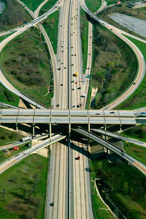
Discover how to bring rich BIM data into the geospatial world. This session will explore various integration pipelines—both current and experimental—that share 3D models from the Construction Cloud platform with the Esri ArcGIS platform, enabling seamless geospatial visualization and analysis. BIM data changes rapidly throughout its lifecycle. Geographic information system (GIS) data represents environmental, political, infrastructure, and utility information. To meet the velocity requirements of housing and infrastructure, stakeholders need a seamless, integrated view of this widely diverse information. Learn how Esri and Autodesk are collaborating to accelerate the construction of the future.